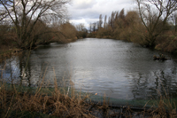
Dunkirk Pond lies alongside the Nottingham to Derby railway line in the area behind the Nottingham Tennis Centre complex and the Science Park. The pond is a flooded ballast pit originally dug in 1830s to provide material for the railway embankment constructed on the line's approach to Nottingham.
Those wishing to see the pond in situ can gain access to it from the Science Park Road clearly shown in our first aerial photograph coming off University Boulevard.
|
From this old Google Earth image it is clear that work on the second phase of the Science Park has just got underway. Dunkirk Pond can be seen lying south of the building site. |
This second image is another Google Earth image taken in 2019 feraturing much of Dunkirk, Highfields Park and part of the University campus. Dunkirk Pond can be seen in the middle of the lower part of the image. |
The fishing rights to Dunkirk Park have changed hands over the years. This photograph taken in the 1980s suggests that it was Keyworth and District Fishing Club that had once held the fishing rights. |
|
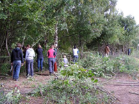
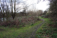
These particular images have been taken from the Natural England Designated Sites View of Beeston Sidings LNR and are three of the photogrpahs lodged there by Nottingham City Council. |
||||
Photographs of Dunkirk Pond - March 2008
|
A collection of photographs taken by Paul Bexon in 2008 |
||||
I used to go fishing there from time to time with my grandfather who was a member of Keyworth Angling Society. We travelled by bus along the ring road getting off at Dunkirk.
You had to go down a side road and passed a pig iron foundry to the railway track. Follow the track for a while and drop down through some trees. I loved the serenity of it.
I used to live in Cloister Street and used to fish in Dunkirk Pond in the early 1970s. At that time, it was run by Keyworth Angling Club and I had an annual permit for under 16s. I can't remember how much I used to pay. There were some nice tench and crucian carp in there - along with perch, roach and rudd. Happy days!
Let us know your memories of Dunkirk Pond
Do you have any historical information or other photographs of this area? If so, email us with the details or write to us.


